Learn how map layers can be used to visualize data and inform decisions
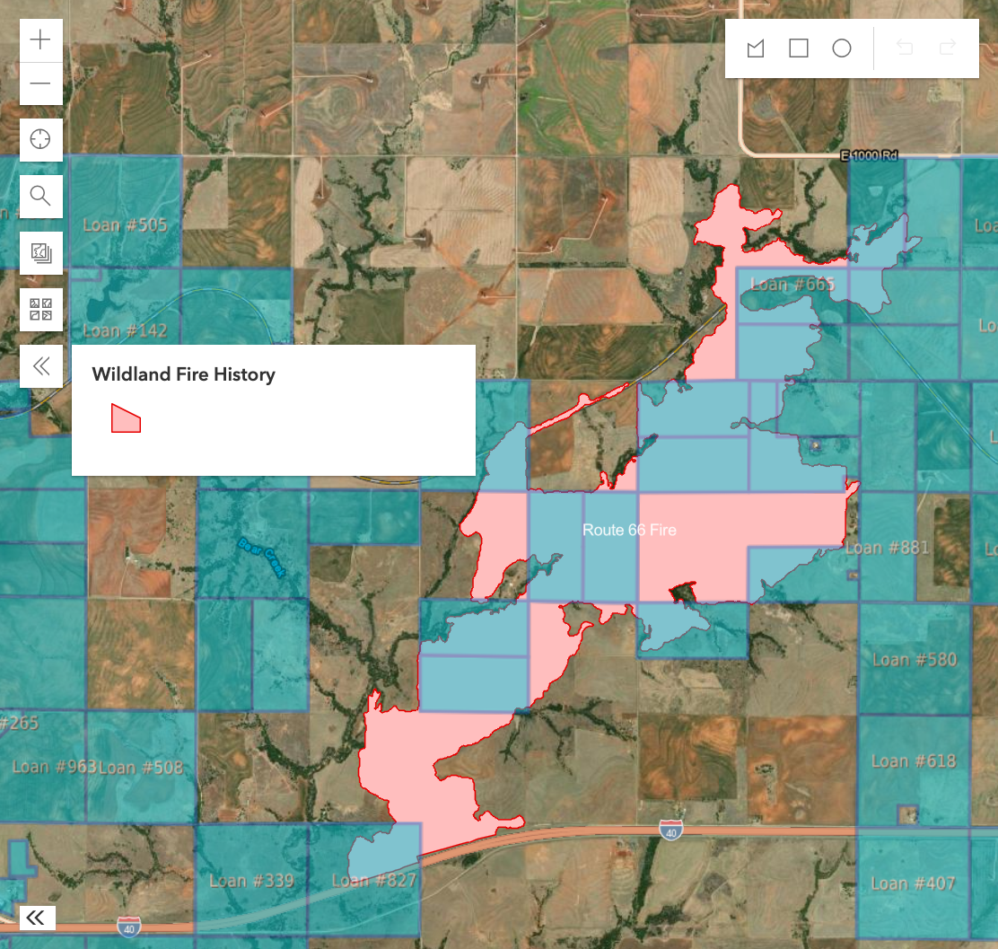
Use Case 1: You want to visualize the impact of a recent fire on your Borrowers. Turn on the Portfolio and Wildland Fire History layers together to not only view borrowers within the fire's boundaries, but to also view those nearby.

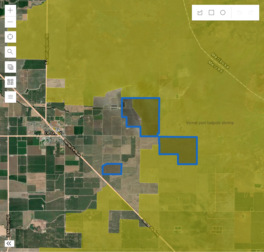
Use Case 2: You are performing due diligence for a new loan and want to visualize if the loan collateral is contained within critical habitat for an endangered species that affect loan terms. Create a Parcel Group containing the loan collateral and then turn on the Critical Habitat (Endangered Species) layer to view any endangered species habitat nearby.

